Last week, Apple released the “Gold Master” version of the upcoming iOS 6 to developers, ahead of the consumer launch on 19 September. Among other interesting additions to the system was the all-new iOS 6 Maps app – Apple’s own attempt at creating navigation software.
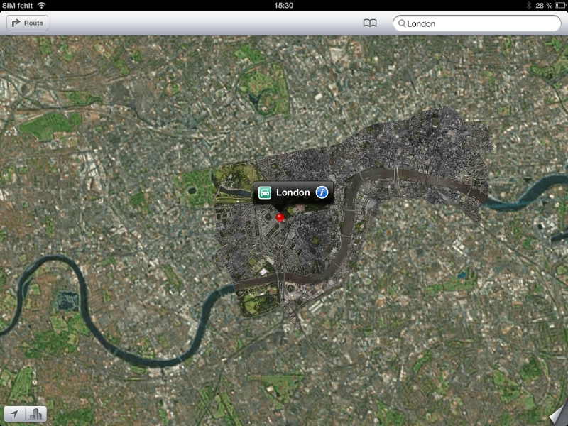
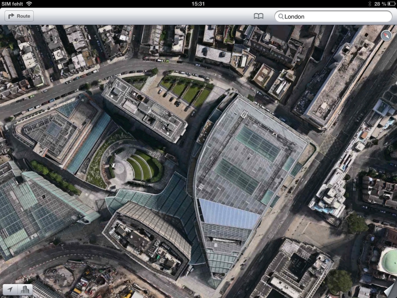
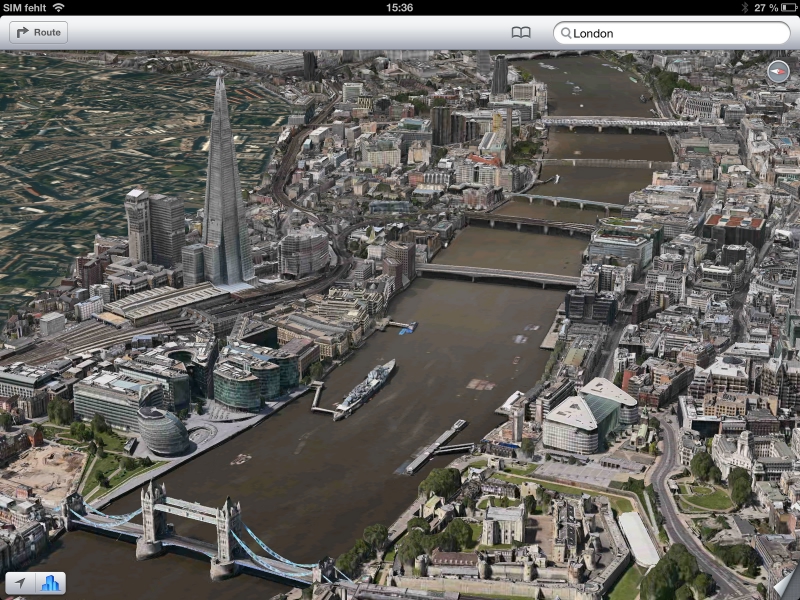
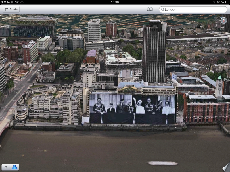
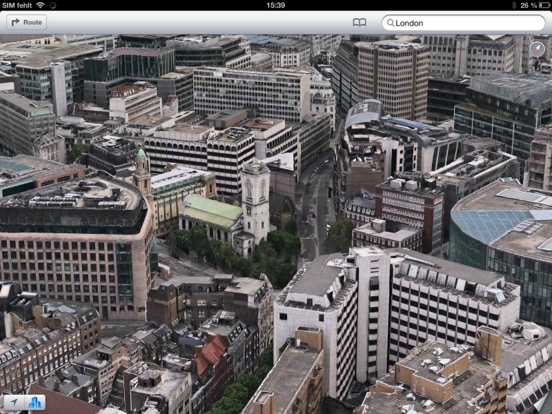
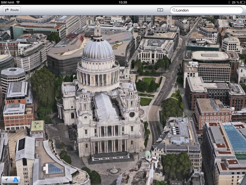
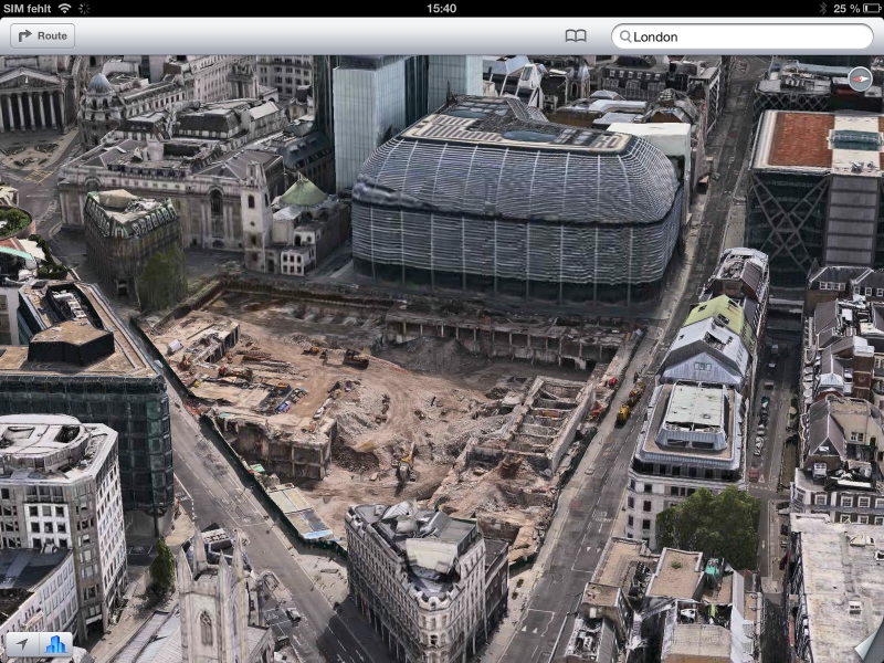
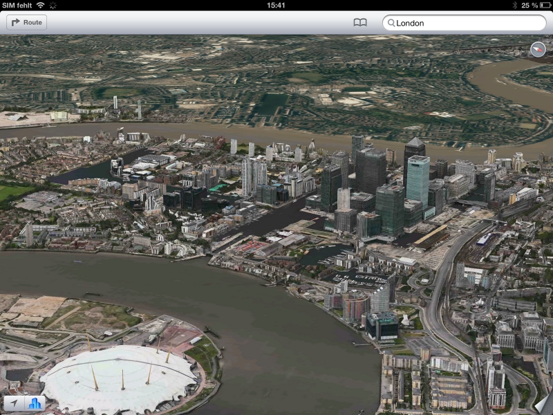
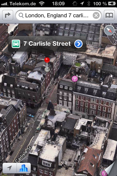
TechWeekEurope has received a batch of screenshots of the app from our partners at ZDNet.de, and we can now show you how Apple presents London in 3D.
Apple announced it would ditch the Google Maps for iOS, and replace it with its own creation at the Worldwide Developer Conference in June. Customers were promised “vector-based map elements” and a Flyover feature with photo-realistic interactive 3D views.
Last week, Apple confirmed that most of the new features included in iOS 6 would be coming to theUK, including turn-by-turn navigation, directions and traffic information.
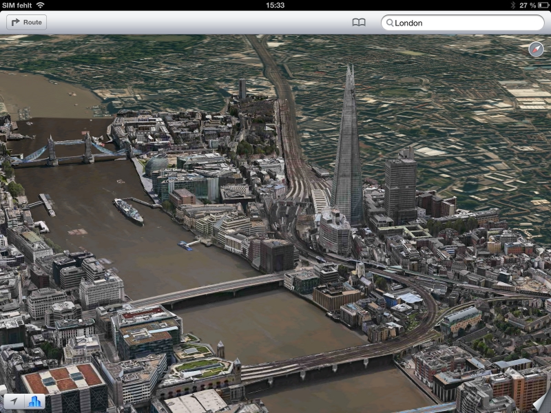
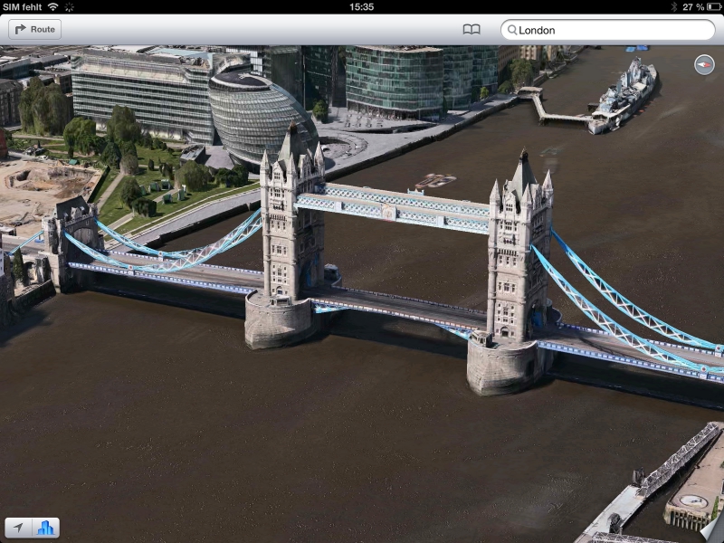
And here are the all-important screenshots. You can see landmarks including the Shard, St Paul’s Cathedral and Tower Bridge:
One of the important departures from Google Maps is the complete absence of pedestrians and vehicles on the streets. While Google had to create an algorithm which would blur the faces of people and the number plates of cars, Apple has done something to completely remove moving objects from its Maps, only leaving a slight ghost trail.
How closely have you been following the evolution of the iPhone? Take our quiz!
Thoma Bravo agrees to acquire Darktrace for $5.32 billion in cash, delivering some welcome news…
Customer adoption of AI services embedded in cloud services continues to deliver results for Microsoft,…
TikTok's 'secret source' algorithm is so core to ByteDance, it would rather shut down US…
After relocating from California to Texas in 2020, Oracle's Larry Ellison now reveals plan to…
Share price hit after Meta admits heavy AI spending plans, after posting strong first quarter…
For third time Google delays phase-out of third-party Chrome cookies after pushback from industry and…