States, Cities To Rely On GIS To Handle Crowds Of Eclipse Viewers
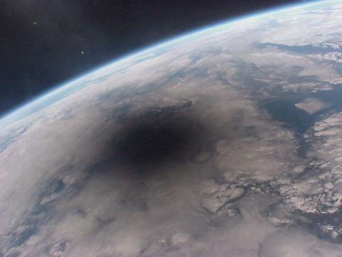
ANALYSIS: The solar eclipse on Aug. 21 is generating enough interest that huge crowds are expected, prompting governments to use geospatial technology
Some of those travelers would be heading for hotels near the eclipse path, some to campgrounds, and some would just be driving in hopes they could find a place to stop for the event. As the traffic begins arriving, sensors would be able to alert planners where people were starting to park their cars along the road.
As the increased traffic began arriving, state and local police could begin managing the traffic, which could include active traffic direction, signs and barriers to keep the vehicle traffic where it needed to be for safety. According to McIntosh, other crowd-sourced apps would be able to tell managers where crowds are gathering, which would alert them to areas that may need active management of all of those people.
In the case of Oregon as well as several other states along and near the path of the eclipse, they’ve already been using the Esri GIS for years. This means that the system has already been localized and that officials already know how to use it.

GIS use
All that was needed to be done was to add layers for the solar eclipse path and for the locations of special events. To make sure that state and local workers throughout the state know about the eclipse features of Raptor, the state Office of Emergency Management even made a video about it.
The reason that Oregon and other states and localities in the U.S. use GIS systems such as those from Esri is for handling large numbers of people and vehicles in case of an emergency.
Such emergencies could include the evacuation of large masses of people from the path of a hurricane traveling up the east coast of the U.S., a tsunami or a wildfire in the west. With a GIS and appropriate software, officials can see how the evacuation is going and where the trouble spots are so they can be bypassed or cleared.

McIntosh said that disasters and solar eclipses aren’t the only use for a GIS. He noted that such systems were used for the Super Bowl, for the Pope’s visit to Philadelphia and Washington as well as the Boston Marathon. He said that Esri runs a disaster response program that McIntosh runs, which he describes as a humanitarian effort.
The solar eclipse is a big deal for Esri because if its involvement with states and localities that are impacted by the celestial event. But Esri has also created a way to make the solar eclipse more accessible to everyone with a remarkable website that provides an interactive look at the eclipse as it crosses the country. It’s a must-see for eclipse viewers.
Now, if only their GIS could help us procrastinators find eclipse glasses.
Originally published on eWeek