Amazon Web Services has made available more than 85,000 satellite images of Earth in an attempt to bolster the firm’s commitment to climate change and humanitarian aid.
In a blog post, AWS’ Jed Sundwall said that the Landsat 8 images are accessible through Amazon’s latest Public Data Set Landsat on AWS.
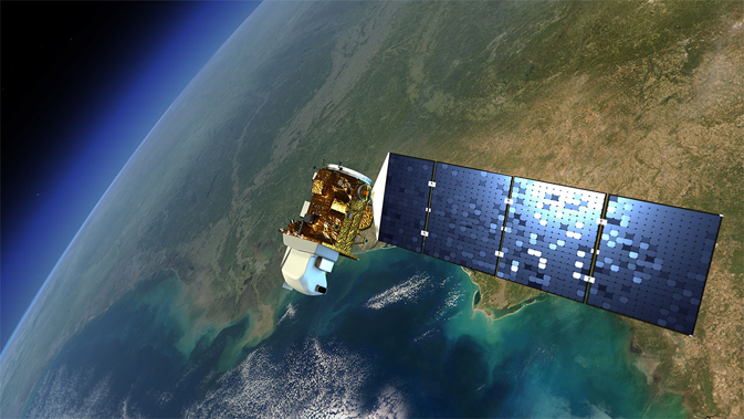
Landsat 8 is an American Earth observation satellite which was launched in February 2013. The Landsat program has been running since 1972 and is the longest ongoing project to collect such imagery. Landsat 8 is the newest Landsat satellite and it gathers data based on visible, infrared, near-infrared, and thermal-infrared light.
Sundwall said: “Because of Landsat’s global purview and long history, it has become a reference point for all Earth observation work and is considered the gold standard of natural resource satellite imagery. It is the basis for research and applications in many global sectors, including agriculture, cartography, geology, forestry, regional planning, surveillance and education. Many of our customers’ work couldn’t be done without Landsat.”
“We hope to accelerate innovation in climate research, humanitarian relief, and disaster preparedness efforts around the world by making Landsat data readily available near our flexible computing resources.”
The scenes are all available in the landsat-pds bucket in the Amazon S3 US West (Oregon) region.
Amazon Web Services said it has been testing its approach to the image hosting over the past few months and has been “amazed” by what some people have been able to do with the information.
A company called Mapbox is using Landsat on AWS to power Landsat-live, a map that is always being updated with the latest imagery from NASA’s Landsat 8 satellite. The map also overlays the images with street data to provide as much context as possible. Geographic systems provider Esri has created a demonstration of how ArcGIS Online can visualise Landsat data for visualisation and analysis within a browser.
Take our Amazon Web Services quiz here!
Oracle's huge AI, Cloud investment in Japan will meet growing local demand and address digital…
People who create sexually explicit ‘deepfakes’ of adults will face prosecution under a new law…
Protest at cloud contract with Israel results in staff firings, in addition to layoffs of…
Microsoft warns of Russian influence campaigns have begun targetting upcoming US election, albeit at a…
Microsoft to avoid an EU investigation into its $13 billion investment in OpenAI, after EC…
As President Biden 'considers' request to drop Julian Assange extradition, US provides assurances to prevent…